Big Bear Lake Hiking
Located in Southern California, Big Bear Lake is a destination for all things hiking, fishing, snowboarding, and skiing. Visit the lake in all four seasons to enjoy the outdoors and stay active. Here are the best hiking trails for all skill levels.
Big Bear Hiking Trails
1. Pine Knot Trail to Grand View Point
- Difficulty: Moderate
- Distance: 6.9 miles
- Elevation Gain: 1,158 feet
On average, hikers complete this out-and-back trail in just over 3 hours. People love this trail for hiking horseback riding, and mountain biking. Prepare to see others out and about when you’re in the area. We recommend hiking this trail in Big Bear Lake from March through November. If you decide to bring man’s best friend, make sure you have your pup on a lease.
2. Castle Rock Trail

- Difficulty: Moderate to Hard
- Distance: 2.7 miles
- Elevation Gain: 820 feet
This is one of (if not) the most popular trails in Big Bear Valley. You’re likely to see other people on the trail while exploring. And be ready for a challenge! There is a steep incline initially, and the trail has some rock scrambling toward the top. Once you’ve reached the top of the ridge, you’ll find granite outcrops and lake views.
3. Cougar Crest Trail

- Difficulty: Moderate
- Distance: 5.6 miles
- Elevation Gain: 895 feet
Hike this out-and-back trail in roughly 2.5 hours. Hikers love the following features:
- Well-maintained
- Family and dog-friendly
- Not too crowded
- Lots of shade
- Great views
To start this hike, you can park for free at the Big Bear Discovery Center until 5 PM and then walk 0.6 miles to the trailhead.
4. Jenks Lake Trail
- Difficulty: Easy
- Distance: 3.1 miles
- Elevation: 488 feet
If you’re looking for a short and easy hike, this is a great option in Big Bear Lake, California. It’s both kid and dog-friendly (dogs must be leashed!). Hikers love to walk this out-and-back trail for a nice picnic. There are tables both in the sun and shade that allow you to break out the sandwiches, charcuterie board, or whatever you’ve packed as a reward. If you have loved ones who want to drive up to meet you after you’ve hiked, there’s also a parking lot that allows you to drive up the mountain.
5. Alpine Pedal Path
- Difficulty: Very Easy
- Distance: 5.2 miles
- Elevation Gain: 298 feet
What designates this trail as “very easy”? For one, the trail is actually an asphalt path that winds around the north shore of Big Bear Lake. It has its gentle ups and downs, but it’s all manageable. If you’re looking for somewhere with gorgeous views to bring your stroller or your dog, this is the spot to be! Just beware of the bikers as it’s quite popular with the cycling community.
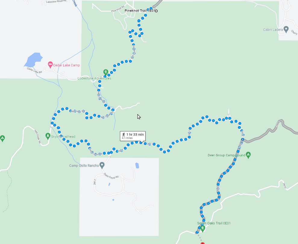
6. Skyline Trail
- Difficulty: Hard
- Distance: 15 miles
- Elevation Gain: 1,535 feet
If you’re looking for the hardest, longest hike in the area, you’re barking up the right tree. The Skyline Trail is a favorite for trail runners, mountain bikers, and overnight backpackers because of its length of 15 miles (point to point). It’s one of the best in the Big Bear Lake area because it crosses so many of the top sights you want to see. If you choose to take this hike on, you’ll get views of forests, tarns, and so much more. This trail can also be used to access many of the other trails in the South Shore Trail System.
7. Sugarloaf Mountain Trail
- Difficulty: Hard
- Distance: 11.6 miles
- Elevation Gain: 3,228 feet
Sugarloaf Mountain is an adventure from start to finish. Due to its length, you’ll be hiking all day, but that day will be filled with gorgeous views from the start of the trail all the way to the top of the summit. Just beware that you won’t get a 360-degree view at the top as some hikers expect. The summit is round and forested, but you’ll still get a spectacular view of the valley below. Rest assured — it’s worth it!
Big Bear Lake Hiking Trails Map
Are you searching for maps to use for your next trip to Big Bear Lake? Here are a few ways you can access the best hiking maps.
- Visit Big Bear Visitor Center for physical maps
- Download the AllTrails app. This is one of the most popular and well-known trail apps. It has over 200,000 trail maps with information on each trail (photos, reviews, etc.).
- Screenshot this Big Bear Valley Trails map. This doesn’t provide a ton of in-depth detail, but it can give you a helpful overview of the area.
Final Thoughts
Enjoy your trip to Big Bear Lake! Remember to prepare for your hike in advance and follow the Leave No Trace Seven Principles to protect the environment.